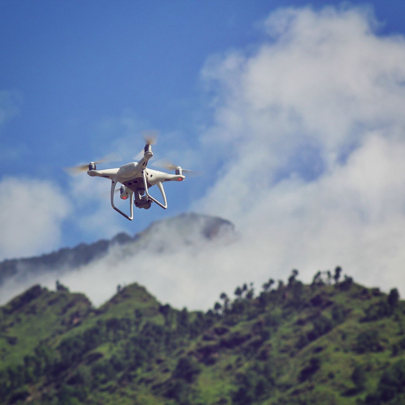
Drone Navigation Systems
Expert-defined terms from the Certified Specialist Programme in Drone Maintenance and Repair course at LearnUNI. Free to read, free to share, paired with a professional course.
1. GPS (Global Positioning System) #
GPS allows drones to determine their precise location and navigate to specific waypoints accurately. This technology relies on signals from satellites to provide real-time positioning data.
2. IMU (Inertial Measurement Unit) #
IMU sensors measure the drone's acceleration, orientation, and angular velocity, helping to stabilize the aircraft and maintain its flight path.
3. Barometer #
Barometers measure air pressure to determine the drone's altitude above sea level. This data is crucial for maintaining the drone's vertical position and preventing collisions with obstacles.
4. Compass #
Compass sensors provide information on the drone's heading or direction, allowing it to navigate along a specific flight path and maintain a consistent orientation.
5. Telemetry System #
A telemetry system enables communication between the drone and the ground control station, transmitting data on the aircraft's status, position, and performance in real-time.
6. Obstacle Avoidance Sensors #
These sensors detect obstacles in the drone's flight path and help avoid collisions by adjusting the aircraft's trajectory or altitude.
7. Flight Controller #
The flight controller is the brain of the drone navigation system, processing input from various sensors and executing commands to control the aircraft's movement and stability.
1. GPS Signal Interference #
GPS signals can be disrupted by electromagnetic interference or physical obstacles, leading to navigation errors and loss of control over the drone.
2. Limited Battery Life #
Drones have a finite flight time due to battery constraints, which can restrict the range and duration of missions, requiring careful planning of navigation routes.
3. Environmental Factors #
Weather conditions such as strong winds, rain, or fog can affect the drone's navigation capabilities, making it challenging to maintain stability and precise control.
4. Regulatory Compliance #
Drone operators must adhere to airspace regulations and restrictions, including no-fly zones and altitude limits, which can impact navigation planning and execution.
5. Complex Flight Paths #
Some missions require drones to navigate through complex environments with obstacles or changing terrain, requiring advanced navigation algorithms and obstacle avoidance strategies.
1. Aerial Photography and Videography #
Drones equipped with GPS and IMU sensors can capture stunning aerial shots and videos with precise positioning and stability.
2. Search and Rescue Operations #
Drones can navigate through remote or hazardous environments to locate missing persons or deliver supplies to inaccessible areas.
3. Precision Agriculture #
Drones can be used to monitor crops, spray pesticides, or collect data on soil conditions with accurate navigation and autonomous flight capabilities.
4. Infrastructure Inspection #
Drones equipped with obstacle avoidance sensors can inspect bridges, buildings, or power lines for damage or maintenance needs without risking human lives.
5. Delivery Services #
Drones can navigate urban environments to deliver packages or medical supplies quickly and efficiently, reducing delivery times and costs.
Conclusion #
Conclusion